

(TRENTON) – The New Jersey Department of Agriculture has partnered with the Rowan University GeoSpatial Research Lab to provide an online tool that allows users in the agricultural community to access, view and print soils reports by tax parcel. The tool incorporates several components that benefit the farmland assessment process.
Use of the tool is optional and is readily available for those who apply for reassessment. The New Jersey Farmland Assessment Act permits farmland and woodland acres that are actively devoted to an agricultural or horticultural use to be assessed at their productivity value. This updated information is also available for public and municipal officials for farmland assessment evaluation.
“The collaboration between our personnel and the GeoSpatial Research Lab staff at Rowan led to this tool’s availability for evaluating soils throughout the state,” NJDA Secretary Douglas Fisher said. “This accurate and user-friendly function will provide up-to-date information to help modernize the farmland assessment process.”
Issues accessing productivity data arose as historic information became outdated and not easily findable to the public. In 2019, a legislative mandate was passed for the NJDA to develop an accessible mapping platform. The NJDA consulted the USDA-Natural Resource Conservation Service (NRCS) to find an alternative method to assess soil productivity. The USDA-NRCS National Commodity Crop Productivity Index (NCCPI) was identified. The NCCPI is a method of arraying the soils of the United States for non-irrigated commodity crop production based on their inherent soil properties. This is an established method which directly correlates with current and future soil series mapping.
The document historically used to qualify Soil Classification for Farmland Assessment is the “Productive Capacity of New Jersey Soils”, which was developed in 1964 when the Farmland Assessment Act was passed. At that time, the most recent Soil Survey had been conducted in 1911 and completed in 1927. The document described 215 New Jersey Soils and placed them into six categories (Groups A through F). Group A was very productive farmland while Group F was unsuitable for agriculture.
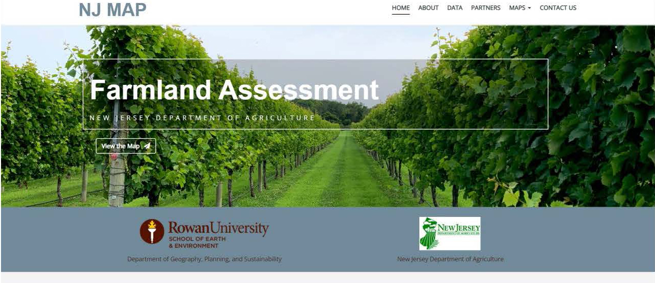
Links to the mapping tool and a demonstration video can be found on the NJDA Farmland Assessment page at https://bit.ly/3GyHjvN.
For questions about the mapping tool, email the Department at ContactAg@ag.nj.gov or call 609.913.6490. For questions about farmland assessment or re-assessment contact your local tax assessor.
###
To learn more about the New Jersey Department of Agriculture, find us on Facebook at www.facebook.com/NJDeptofAgriculture and www.facebook.com/JerseyFreshOfficial or Twitter @NJDA and @JerseyFreshNJDA.
