Harrison Avenue Landfill/Cramer Hill Waterfront Park Project
Image Gallery
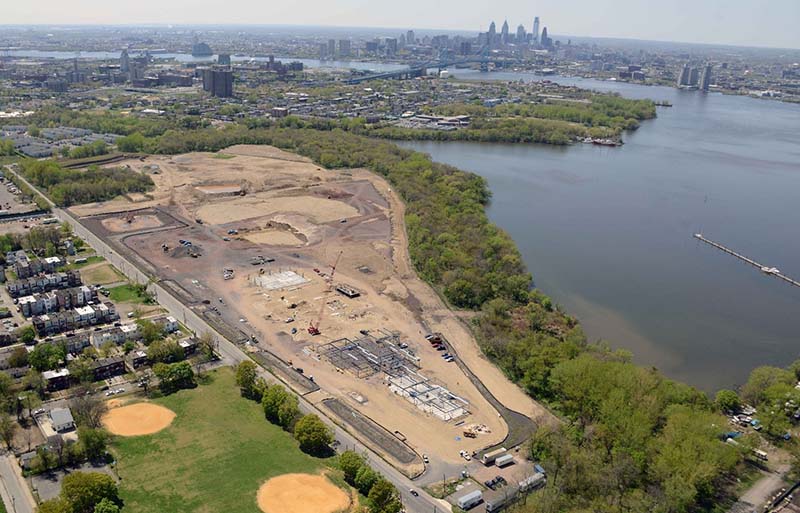
Start of Harrison Avenue Landfill Transformation in 2011
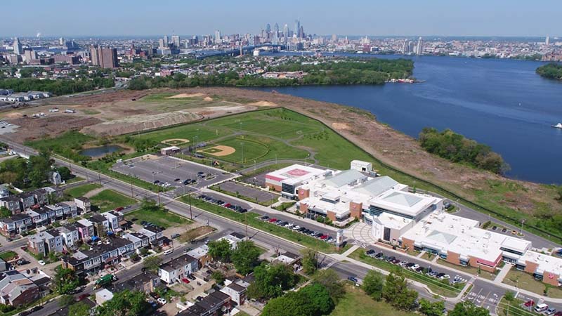
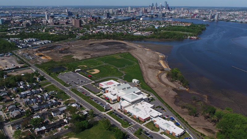
Progress of Harrison Avenue Landfill Transformation as of May 2018
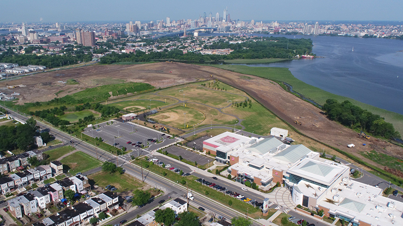
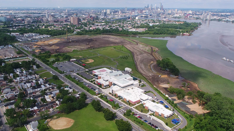
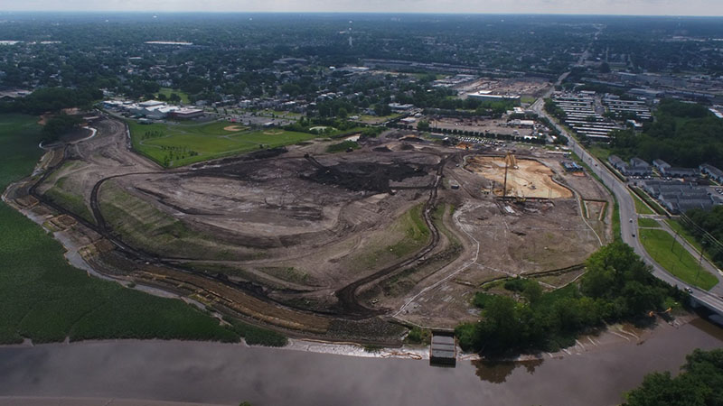
Progress of Harrison Avenue Landfill Transformation as of July 2018
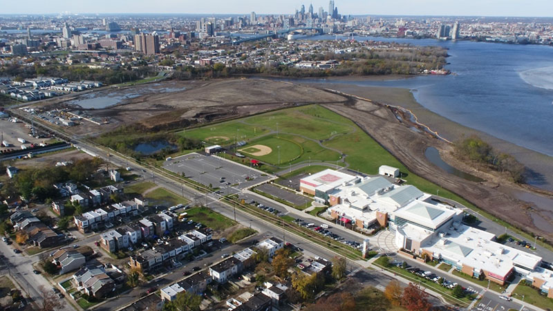
Progress of Harrison Avenue Landfill Transformation as of November 2018
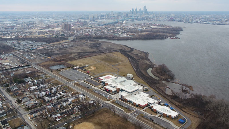
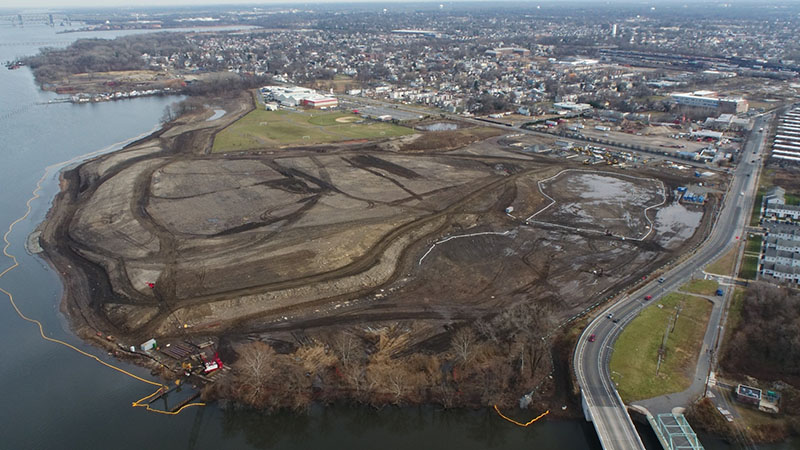
Progress of Harrison Avenue Landfill Transformation as of February 2019
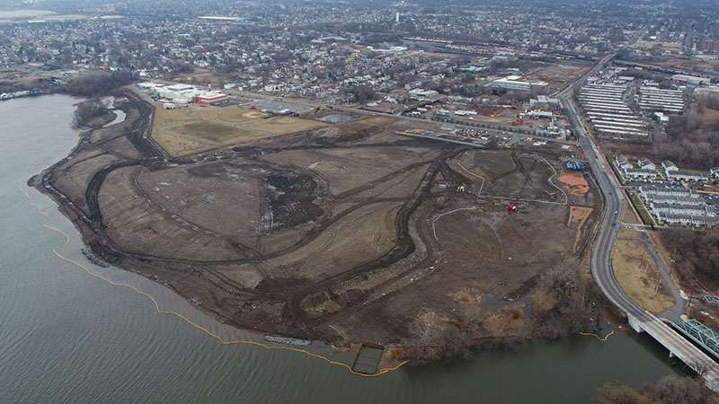
Progress of Harrison Avenue Landfill Transformation as of April 2019
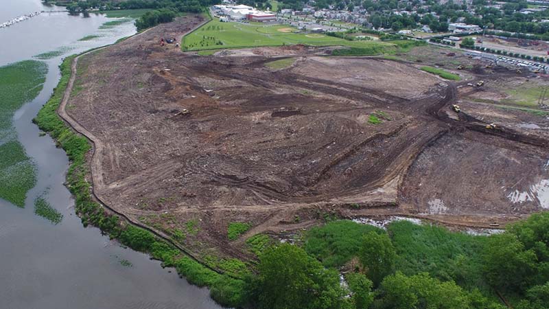
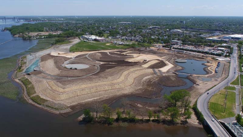
Progress of Harrison Avenue Landfill Transformation as of June 2019
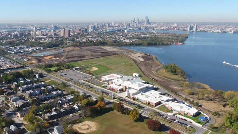
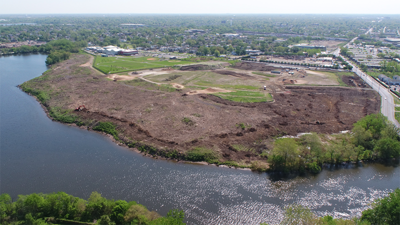
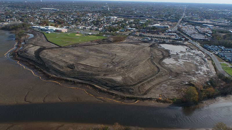
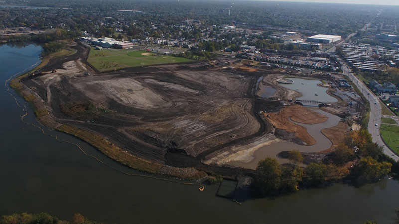
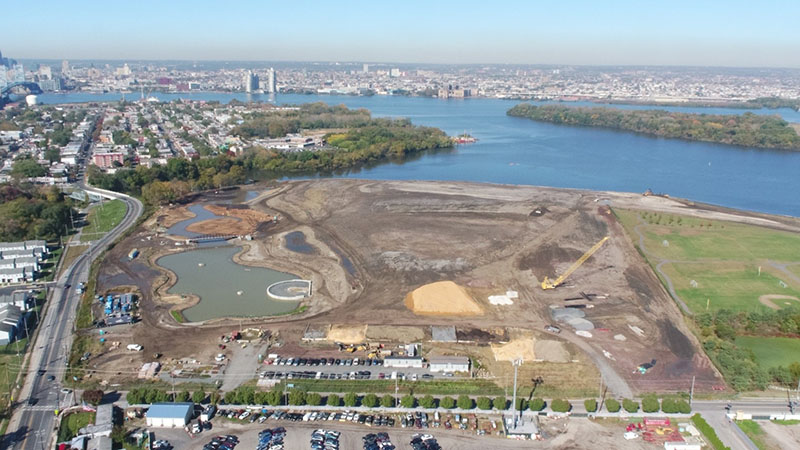
Progress of Harrison Avenue Landfill Transformation as of October 2019
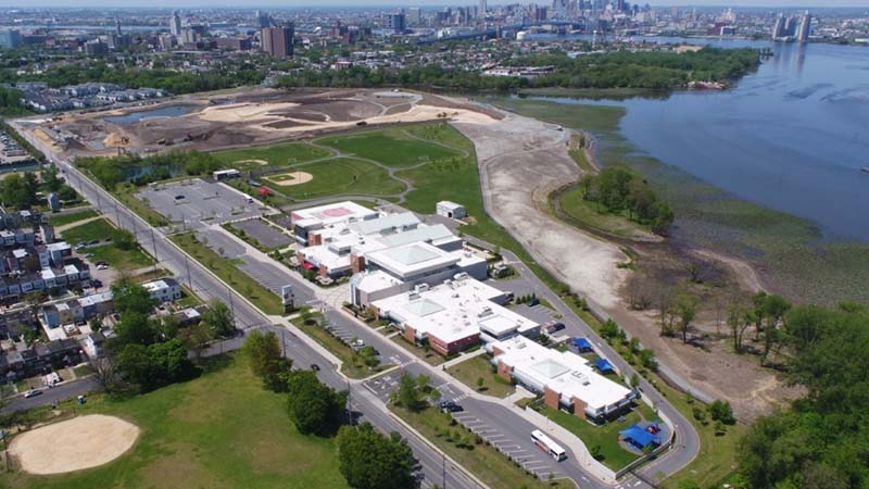
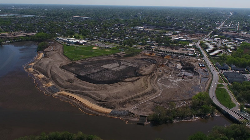
Progress of Harrison Avenue Landfill Transformation as of May 2020
Camden Redevelopment Agency Parcel before tree clearing in March 2018
 Camden Redevelopment Agency Parcel after site clearing in May 2018 Camden Redevelopment Agency Parcel after site clearing in May 2018
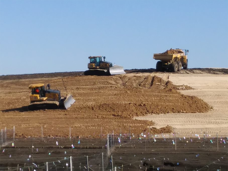
Camden Redevelopment Agency Parcel showing cut-and-fill operations in July 2018
Camden Redevelopment Agency Parcel showing cut-and-fill operations in November 2018
Camden Redevelopment Agency Parcel showing various operations in December 2018
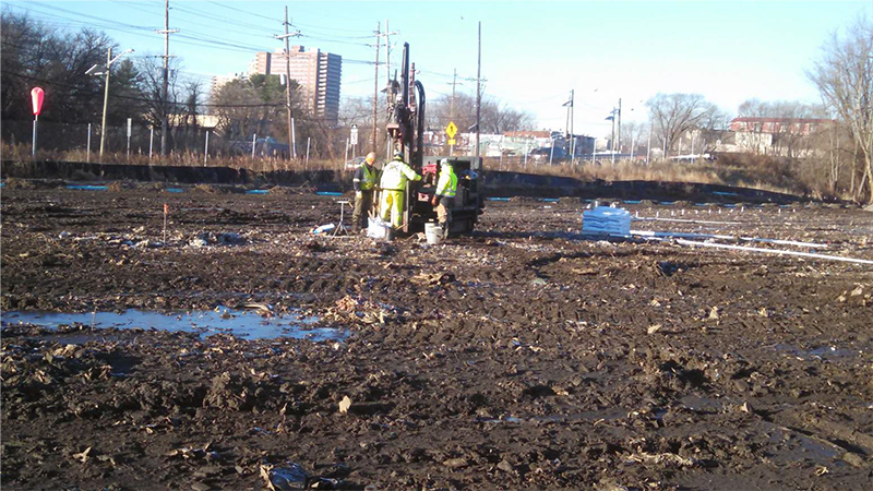
Camden Redevelopment Agency Parcel showing showing various operations in February 2019
Camden Redevelopment Agency Parcel showing showing various operations in April 2019
Camden Redevelopment Agency Parcel showing showing various operations in June 2019
Camden Redevelopment Agency Parcel showing showing various operations in October 2019
Progress of Harrison Avenue Landfill Transformation as of May 2020

Operational Area of Site in June 2019
Operational Area of Site in October 2019

Progress of Harrison Avenue Landfill Transformation as of May 2020

|
 |
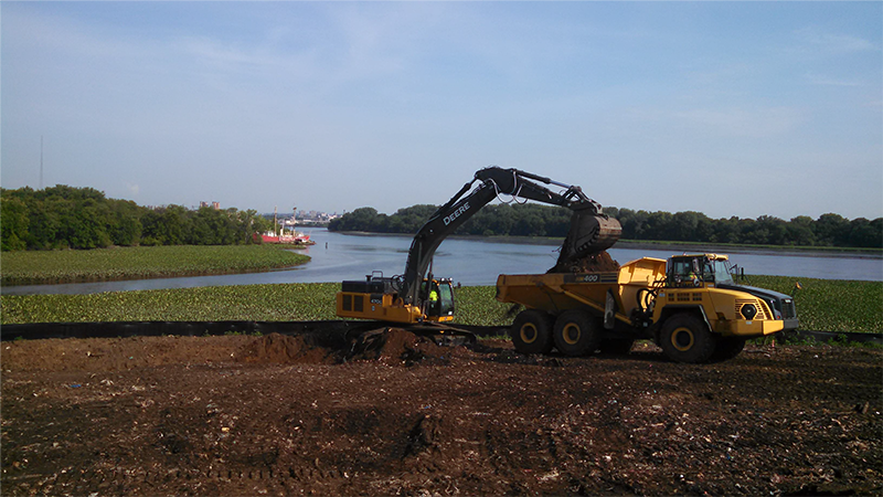
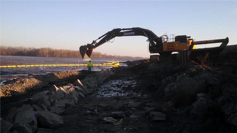
Excavating the canal near State Street |
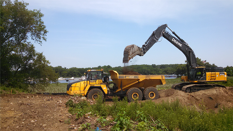
Loading materials to build central elevations. |
Excavation near where the Delaware River converges with the Cooper River
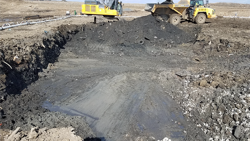
Excavation of trench needed to create Habitat Conservation Island
|
 |
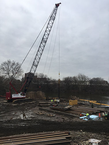
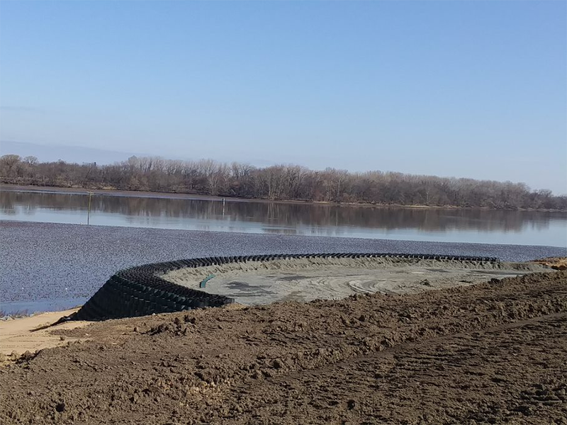
Coffer dam installation at mouth of kayak channel in Cooper River |
Coffer dam installation at mouth of kayak channel in Cooper River
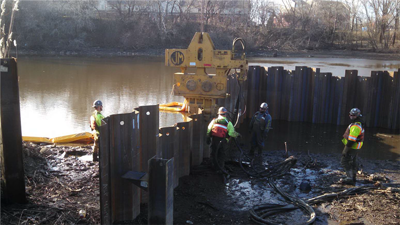
Coffer dam installation at mouth of kayak channel in Cooper River
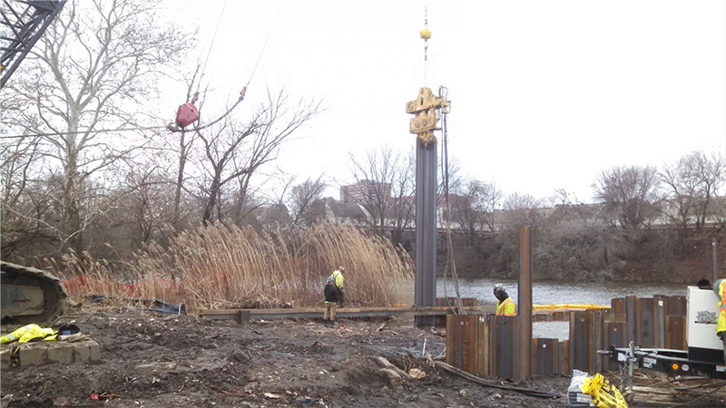
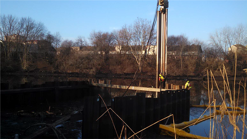
Installation of coffer dam at mouth of kayak channel in Cooper River
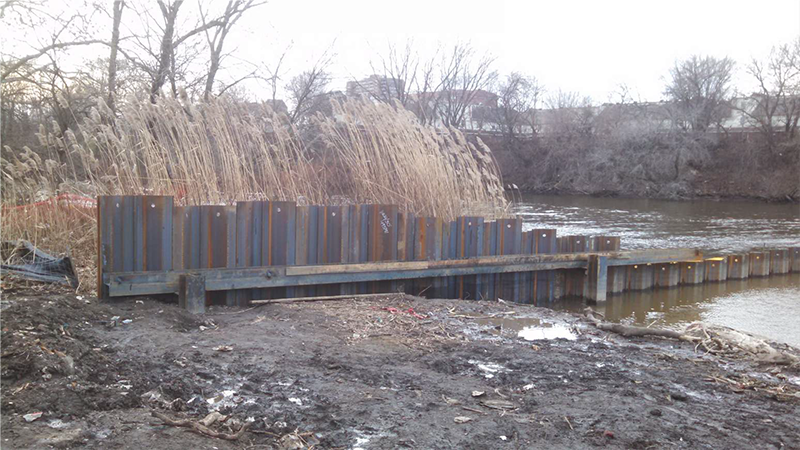
Installation of coffer dam at mouth of kayak channel in Cooper River
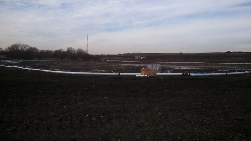
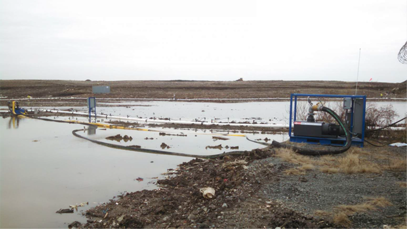
Completed fishing pond dewatering well system
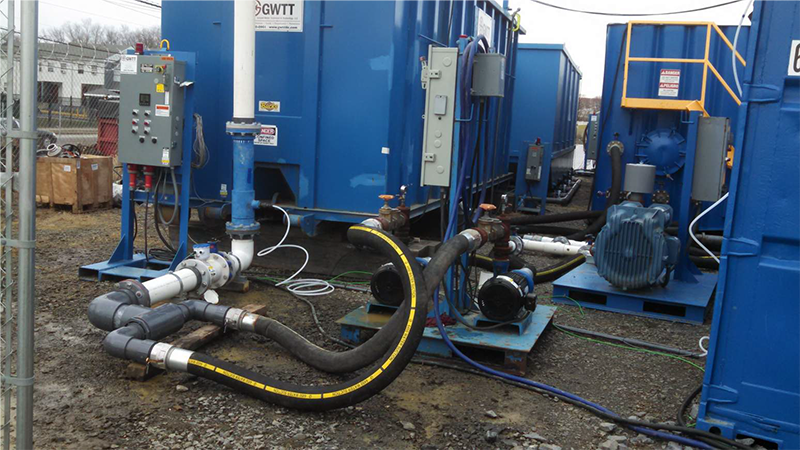
Fishing pond dewatering system connection to water treatment plant
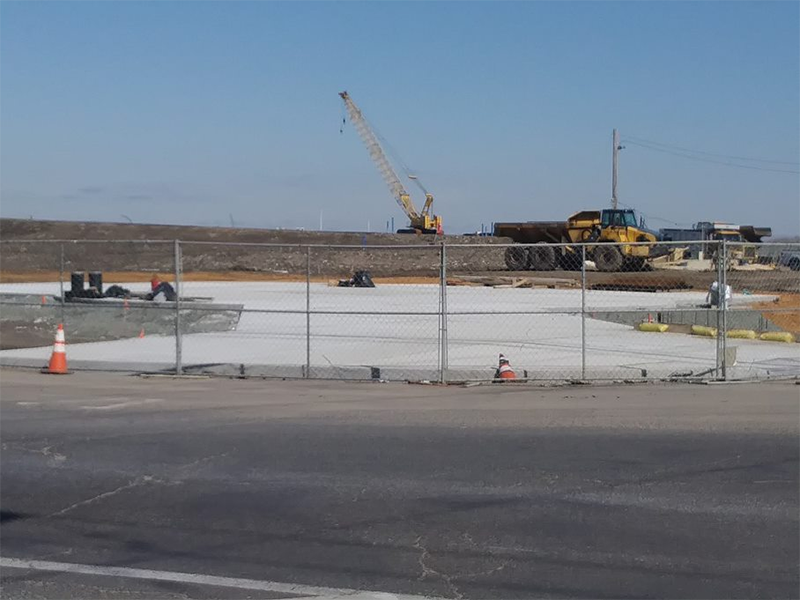
Completed installation of the water treatment plant
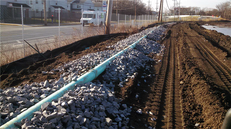
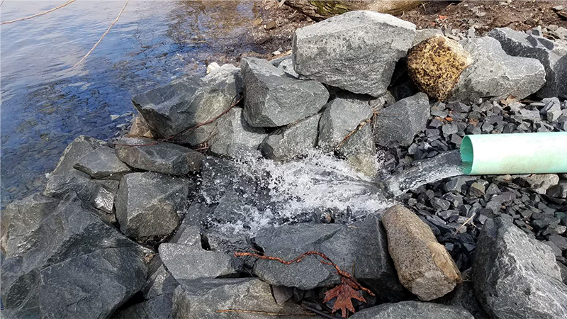
Water treatment plant effluent discharge pipe
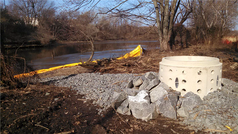
Water treatment plant effluent discharge outfall
Illustation of effluent quality from dewatering Treatment Plant
Continuing installation of dewatering system for the kayak channel tidal wetland area
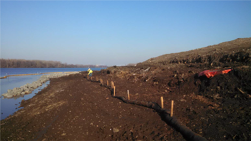
Heavy equipment constructing shoreline stabilization

Heavy equipment constructing shoreline stabilization
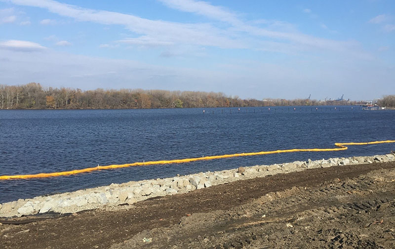
Shoreline stabilization showing turbidity barrier
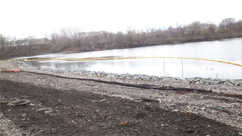
Shoreline stabilization showing turbidity barrier and silt sock erosion controls
Shoreline stabilization showing turbidity barrier and silt sock erosion controls
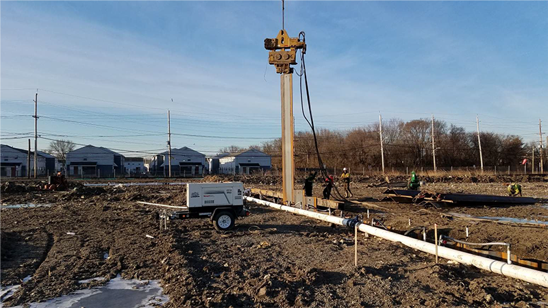
Installation of steel sheet pile for fihsing pond weir
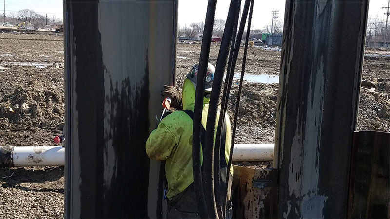
Sealant application to seams in the fishing pond weir
Excavation of Fishing Pond Area in February 2019

Overlooking the fishing pond and plaza from the E. State Street parking lot April 2020
Construction of Observation Deck overlooking the Delaware River and Petty’s Island

Concrete being poured for the Entrance Plaza
Construction of the Entrance Plaza at the corner of E. State Street and Harrison Avenue
Capping operations underway near the Summit Vista

Overlooking the fishing pond, weir and bridge from the E. State Street parking lot

Tree and shrub plantings near the confluence of the Cooper and Delaware Rivers May 2020

Planting operations occurring as topsoil is placed May 2020

Construction of stone pathways throughout the park are underway

Hydroseed being broadcasted behind the Kroc Center above the Northern Tidal Wetland area
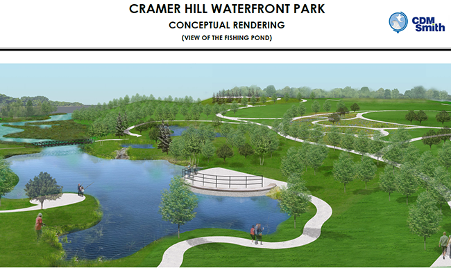
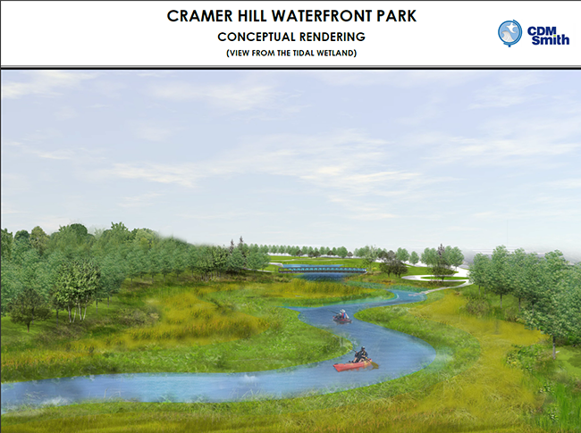
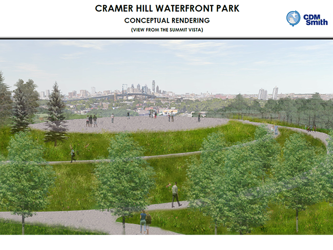
Below are conceptual renderings of the final design for the park!
|


