Delaware • New Jersey • Pennsylvania
New York • United States of America
 |
After the winter weather that the region's been experiencing, many will be tuning in on Sunday, February 2, to see if Punxsutawney Phil, the "seer of seers, the prognosticator of all prognosticators," will see his shadow, which will determine whether there will be six more weeks of winter (shadow seen) or whether spring is just around the corner (no shadow). 2014 marks Phil's 128th weather forecast; learn more about Phil and the Punxsutawney Groundhog Club at http://www.groundhog.org/.
Regardless of the outcome, we can tell you that spring is coming, and it is not too soon to start thinking about all of the fun activities to partake in outside once the temperatures are warm enough and conditions allow.
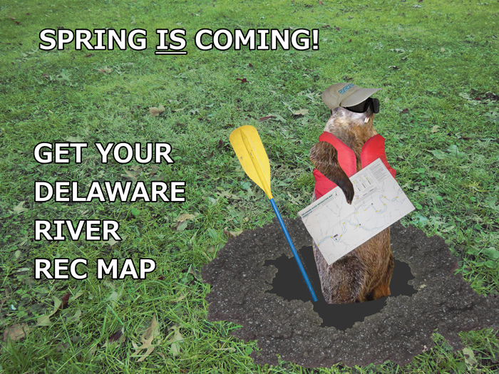
DRBC's recreation maps are a great resource for those boating, paddling, or fishing trips on and along the Delaware River. A 10-map set printed on waterproof paper, these maps depict access areas, stream miles and reference points, channel locations, and a detailed classification of streamflow characteristics.
The map set covers the river's east and west branches prior to their confluence at Hancock, N.Y., the entire 200 mile, non-tidal reach of the river from Hancock to Trenton, N.J., and an additional 25 miles of the tidal river from Trenton to just south of the Betsy Ross Bridge (which connects Northeast Philadelphia, Pa. and Pennsauken, N.J.).
The cost is $25/set; shipping and handling is included. A portion of the proceeds from the sale of the maps will help fund DRBC's educational/outreach programs and activities.