navigation bar
   
njdep  
  New Jersey Division of Fish & Wildlife New Jersey Division of Fish & Wildlife
 
njdep home f&w home
Facebook Logo Instagram logo

Office of Fish and Wildlife Information Systems


The Office of Fish and Wildlife Information Systems develops and maintains geographic information systems (GIS) data, analyses, and web mapping applications, and provides GIS/IT assistance in order to guide strategic habitat conservation and support fish and wildlife management throughout New Jersey.

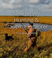
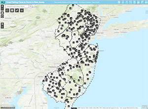
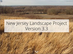
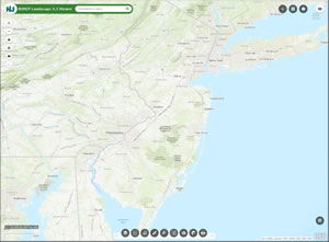
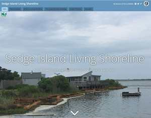
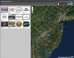
Some recent projects include the development of the New Jersey Hunting and Trapping Explorer, the Support NJ Seafood Story Map, the Sedge Island Living Shoreline Story Map, and the New Jersey Landscape Project.

Most data published by the office is available on the NJDEP Open Data site managed by the Bureau of GIS.

State or federal agencies, local governments, or universities seeking to collaborate or share data should contact the OFWIS at: DFWGIS@dep.nj.gov or 609-223-6060.

NJ Hunting & Trapping Explorer Image & Link
The NJ Hunting and Trapping Explorer is the latest project of the OFWIS.
Places To Fish
Places To Fish
Landscape Project App Link
Landscape Project
Landscape Viewer App Link
Landscape Project Viewer
Sedge Island Living Shoreline Link
Sedge Island Living Shoreline
Support Seafood App Link
Support NJ Seafood

bottom footer contact dep privacy notice legal statement accessibility statement nj home nj home citizen business government services a to z departments dep home

division of fish & wildlife: home | links | contact f&w
department: njdep home | about dep | index by topic | programs/units | dep online
statewide: njhome | citizen | business | government | services A to Z | departments | search

Copyright © State of New Jersey, 1996-2021
Department of Environmental Protection
P.O. Box 402
Trenton, NJ 08625-0402

Last Updated: April 29, 2021