About
The Executive Committee, comprised of 10 people representing various sectors of the state's geospatial community, governs the NJGF. The sectors are:
- Federal government agencies with operations in New Jersey
- New Jersey university, college, and K-12 institutions
- New Jersey municipal government agencies
- New Jersey county government agencies
- New Jersey state government agencies
- Private sector GIS firms licensed to do business in New Jersey
- Regional authorities and Metropolitan Planning Organizations (MPO) with operations in New Jersey
- 501(c)(3) non-government organizations (NGO) with operations in New Jersey
- New Jersey licensed Professional Land Surveyors in good standing with the New Jersey Division of Consumer Affairs, State Board of Professional Engineers and Land Surveyors
- The State's Geographic Information Officer (non-elected)
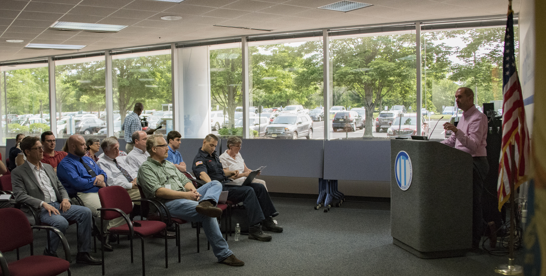
It is through your sector representative that issues are formally brought to the NJGF and proposed for discussion. Both the NJGF and Executive Committee meetings are open to the public.
The NJGF is a group supported in full by volunteers. It is very important for people to get involved, share their information and ideas, voice their concerns, and work together to benefit everyone involved.
 Official Site of The State of New Jersey
