 Official Site of The State of New Jersey
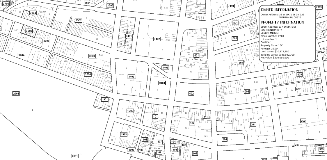
Parcel Data
Learn about NJ parcel boundaries, property ownership info, and access to these datasets
Learn More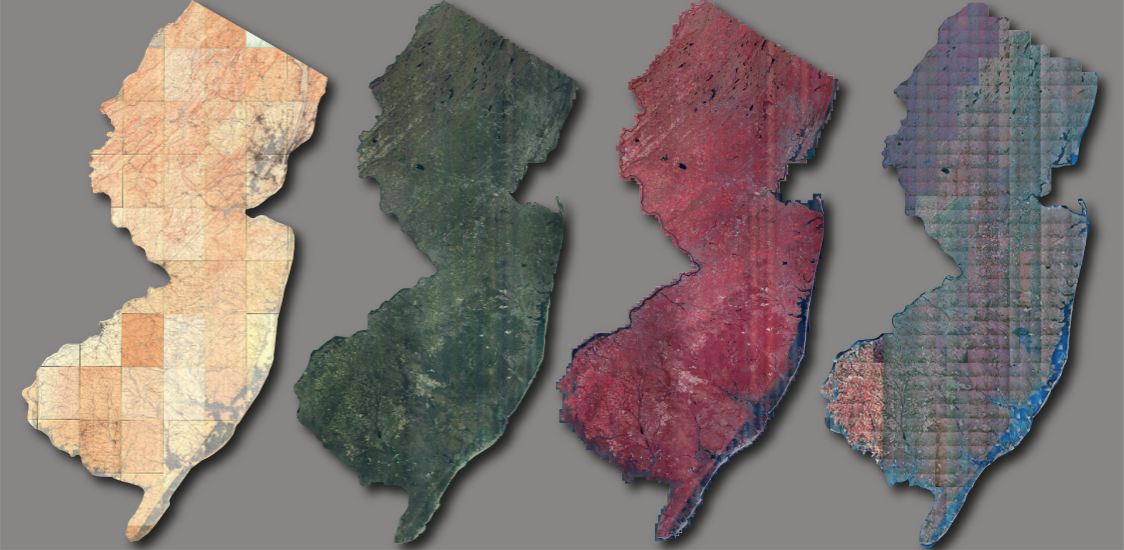
Looking for imagery?
Download using the Imagery Warehouse app and AWS Command Line Interface, or stream online
Learn More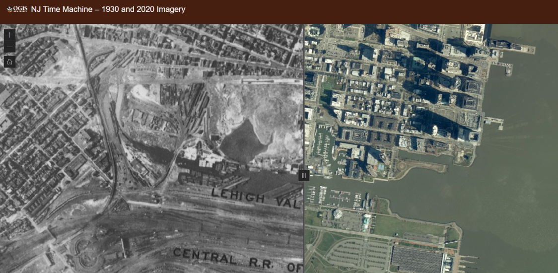
NJ Time Machine – 1930 and 2020 Imagery
See the many changes in the New Jersey landscape over a 90-year span from 1930 to 2020
Learn More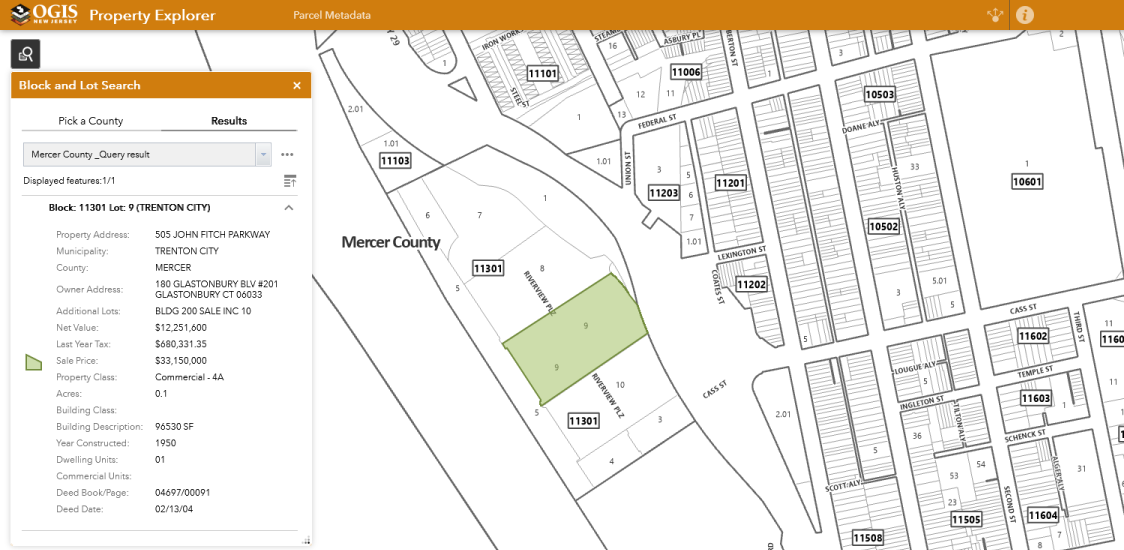
Property Explorer App
Search all parcels in NJ by address, county, municipality, block and lot
Learn More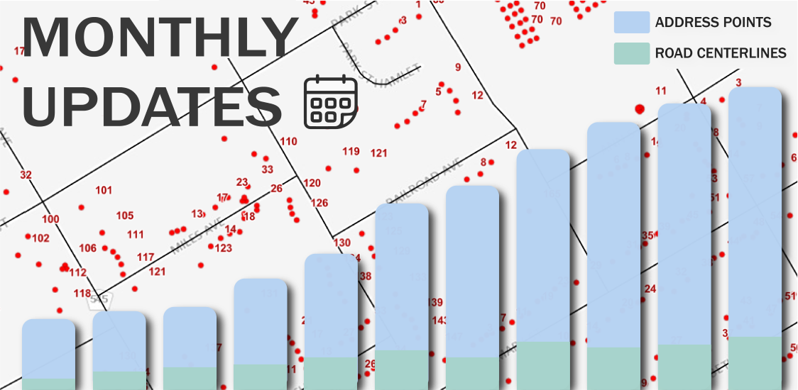
Monthly Updates
Beginning June 2022, the road centerlines, address points, and statewide geocoding service will be updated monthly

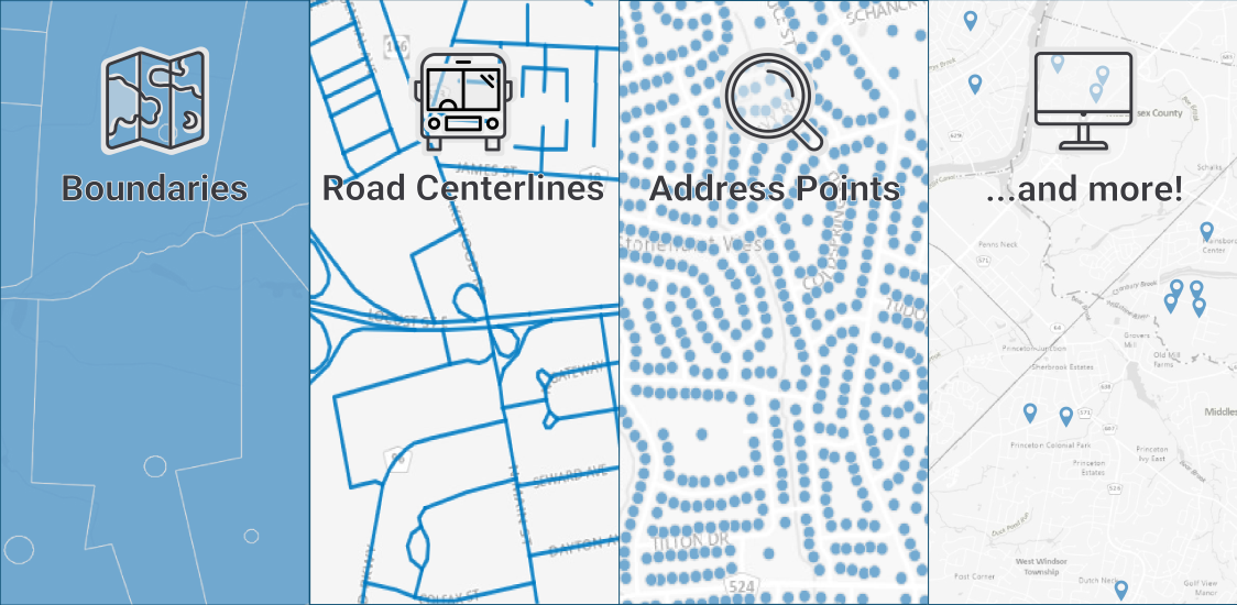
Find GIS Data
Parcel Data
Learn about NJ parcel boundaries, property ownership info, and access to these datasets
Learn More
Looking for imagery?
Download using the Imagery Warehouse app and AWS Command Line Interface, or stream online
Learn More
NJ Time Machine – 1930 and 2020 Imagery
See the many changes in the New Jersey landscape over a 90-year span from 1930 to 2020
Learn More
Property Explorer App
Search all parcels in NJ by address, county, municipality, block and lot
Learn More
Monthly Updates
Beginning June 2022, the road centerlines, address points, and statewide geocoding service will be updated monthly
Find GIS Data
Mature Support ArcGIS Online Hosted Parcels Feature Service will be deleted on Wednesday, March 11, 2026
The mature support ArcGIS Online hosted parcels feature service (mature support service URL) will be removed on Wednesday, March 11, 2026. Please update your records, maps, and web applications to use the new ArcGIS Online hosted parcels feature service, Parcels and MOD-IV Composite of NJ, Web Mercator (3857) (new service URL). Please note: All future parcel updates are published to this new ArcGIS Online hosted feature service.
March 2026
NJ Color and Light Gray Basemap Source Data Available for Download
Source data for New Jersey’s Color and Light Gray basemap services is now available for download on AWS. Users can access the data using the AWS Command Line Interface (CLI). Visit NJGIN Basemaps for step-by-step instructions and additional details.
February 2026
Final Update to NJ Color and Light Gray Basemap Services
The Color and Light Gray basemap services have received their final update, featuring connectivity corrections, data updates, and visual enhancements. NJOGIS will transition to Esri ArcGIS Online basemap services in the future, and source documentation will be made available for download at a later date.
January 2026
GIS Services State Contract extended
The existing GIS Services State Contract (T1841) has been extended to Tuesday, June 16, 2026. Please note that this extension does not change the current bid solicitation for the next GIS Services State Contract (T1841). Visit NJSTART for details.
December 2025
Updated geospatial metadata guidance available on NJGIN
Updated geospatial metadata guidance is now available, with faster authoring using NJGIN Core, simplified instructions, and helpful resources to support NJGIN Open Data sharing. Visit NJGIN Share Your Data and NJGIN Metadata Support to learn more.
December 2025
Updated Parcels data for New Jersey is now live
The newest parcels update includes schema changes, 2024 tax year MOD-IV data, and more recent data provided by specific counties and municipalities. A new ArcGIS Online hosted feature service is now available. Click here details.
November 2025
Interactive Maps
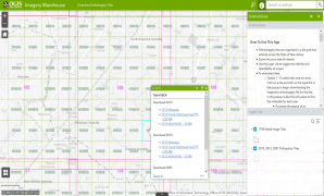
Imagery Warehouse
Interactively download tiles from the most frequently requested imagery collections
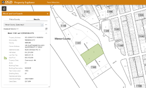
Property Explorer App
Search all parcels in NJ by address, county, municipality, block and lot
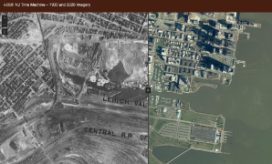
NJ Time Machine – 1930 and 2020 Imagery
See the many changes in the New Jersey landscape over a 90-year span from 1930 to 2020
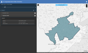
Congressional District Finder
Search for U.S. Senators and Congressional Representatives by address
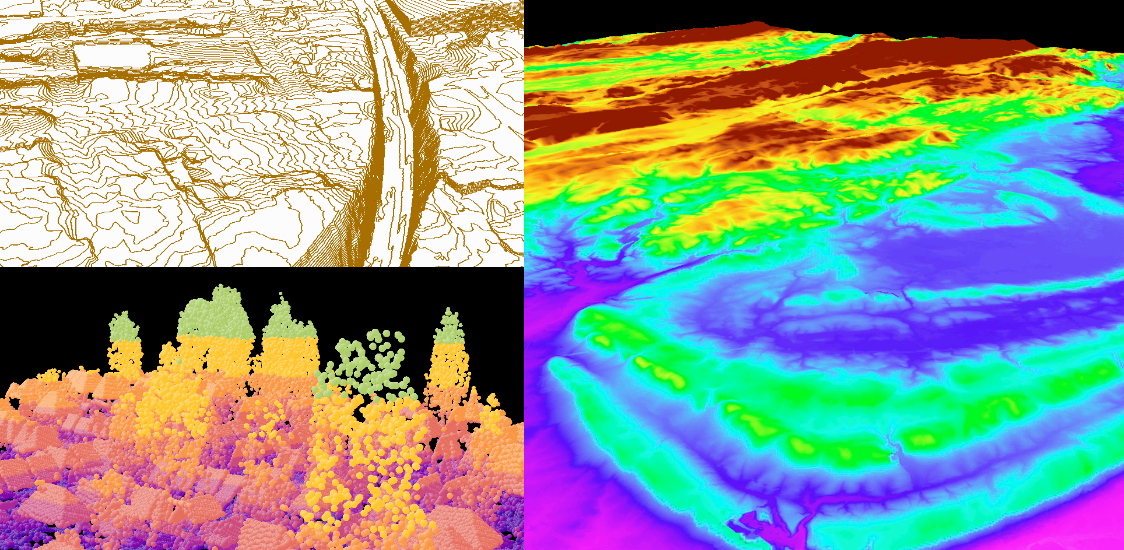
2018 Northwest NJ LiDAR Collection
Download point cloud data (.laz)
2019 South NJ LiDAR Collection
Download point cloud data (.laz files) and other elevation products