 Official Site of The State of New Jersey
Boundaries
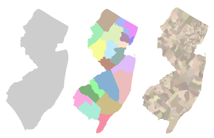
Administrative Boundaries (State, County and Municipal)
These datasets are spatial representations of the state, county and municipal extents for New Jersey. The spatial accuracy of previous administrative boundary datasets was improved by integrating coincident features like stream centerlines, road centerlines, digital tax maps, green acres surveys, preserved farmland surveys, New Jersey - New York boundary monuments and parcels. The book “The Story of New Jersey’s Civil Boundaries 1606 – 1968” (Reprinted 2004), by John E. Snyder was also used as a reference during the data development process.
These datasets are updated as needed when more accurate data becomes available or municipal annexations occur. The polygons delineated in this data set do not represent legal boundaries and should not be used as such.
- NJ State Boundary
- NJ County Boundaries (NJ State Plane)
- NJ County Boundaries (Web Mercator)
- NJ Municipal Boundaries (NJ State Plane)
- NJ Municipal Boundaries (Web Mercator)
- NJ County Centroids (NJ State Plane)
- NJ County Centroids (Web Mercator)
- NJ Municipal Centroids (NJ State Plane)
- NJ Municipal Centroids (Web Mercator)
- NJ State Boundary Project Story Map