 Official Site of The State of New Jersey
Addresses
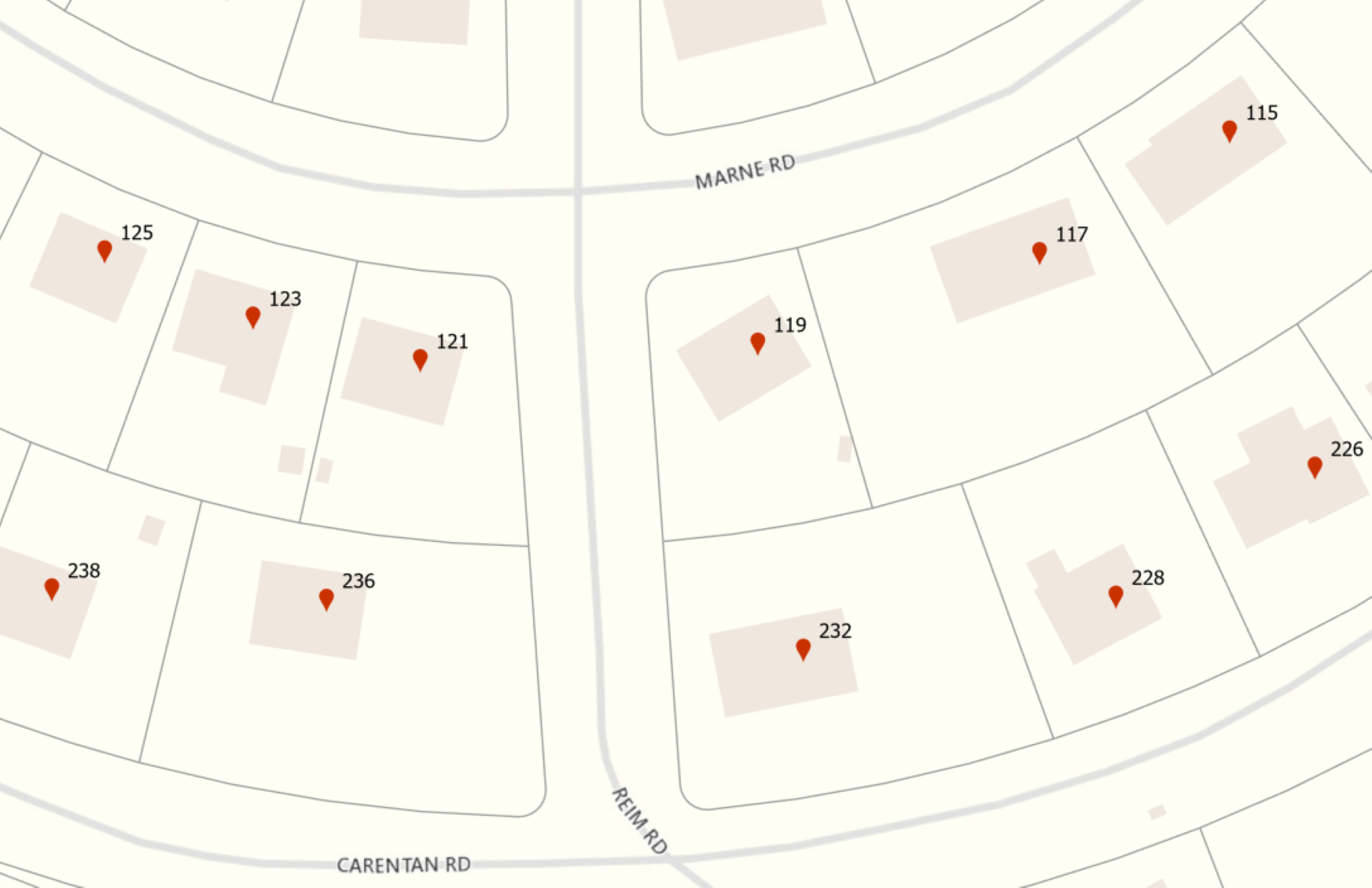
Address Points and Landmark (Place) Names
The intent of this dataset is to provide a single, comprehensive, statewide address points layer to serve various address reference and geocoding needs across the entire state of New Jersey.
NJOGIS, in partnership with several local GIS and public safety agencies, have built a statewide address point data set to be used for general geocoding functions and public safety applications. Address points were initially processed from statewide parcel records and supplemented with address point contributions from local GIS authorities. Work on the data is ongoing. In particular, we are continuing to work on increasing completeness of subaddress points.
The dataset includes fully parsed single house and subaddress information as well as postal information and primary place name. The points were also linked to appropriate NJ Road Centerlines segments where available, and may be queried for alternate street name information. Additional alias place name information may be queried in a related non-spatial table.
Where possible, points are located within building footprints. In a limited number of cases there are secondary points for property access locations.
The data model complies with the Next Generation 911 (NG911) GIS Data Standard published by the National Emergency Number Association (NENA) and includes street names formatted for both Next Generation and legacy dispatch systems.
We welcome contributions to the maintenance of this data from local partners. To support local 9-1-1 operations in New Jersey, we can make arrangements where necessary to provide data in alternative formats for use with computer-aided dispatch software systems that have narrow requirements not fulfilled by the NENA model. Please Contact Us for more information.
The address points dataset is updated monthly. View the Enterprise Data Updates Report on the right for more information.
- Address Points NG911 Schema (File Geodatabase)
- Address Points NG911 Schema (Shapefile)
- Address Points NG911 Schema (Hosted Feature Service)
- Address Points Landmark Name Alias Table NG911 Schema (Hosted Feature Service)
- Address Points Road Name Alias Table NG911 Schema (Hosted Feature Service)
- Address Points Data Model Diagram (NG911 Schema)
- NJ NG911 GIS Data Standards
- Place Names Annotation (File Geodatabase)
- Enterprise Data Summary Report
- Enterprise Data Report by Municipality
- Enterprise Road and Address Updates by Municipality Map