 Official Site of The State of New Jersey
Roads
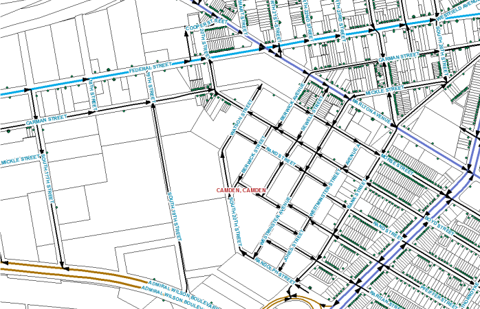
The NJ Road Centerlines dataset is intended to serve as a general-purpose reference dataset to support geocoding, location reference, cartography, and other routine GIS uses. The road centerlines data builds off the existing NJ Department of Transportation (NJDOT) NJ Roadway Network data by expanding coverage to include alleys and private roads; physical segmentation of geographic features at intersections, jurisdictional boundaries and zip code boundaries; and adding attribute values for alternate road names, address ranges, zip codes, zip names, municipalities, surface type, elevation level, access restrictions, jurisdiction, feature status, and date of last update.
The original release of this data used a custom data model. In 2020 the dataset was reformatted to comply with the Next Generation 911 (NG911) GIS Data Standard published by the National Emergency Number Association (NENA). It now includes street names parsed into both Next Generation (8-part) and legacy (4-part) forms to support the widest possible variety of GIS and computer-aided dispatch software. There also are attribute fields available to carry names of unincorporated communities and neighborhoods in addition to the existing attributes for municipal names.
The road centerlines dataset no longer supports linear referencing. The NJ Roadway Network, available as a separate dataset from NJDOT, continues to be the preferred dataset for linear referencing.
We welcome contributions to the maintenance of this data from local partners. To support local 9-1-1 operations in New Jersey, we can make arrangements where necessary to provide data in alternative formats for use with computer-aided dispatch software systems that have narrow requirements not fulfilled by the NENA model. Please Contact Us for more information.
The road centerlines dataset is updated monthly. View the Enterprise Data Updates Report on the right for more information.
- Road Centerlines NG911 Schema (File Geodatabase)
- Road Centerlines NG911 Schema (Shapefile)
- Road Centerlines NG911 Schema (Hosted Feature Service)
- Road Name Alias Table NG911 Schema (Hosted Feature Service)
- Roads Data Model (NG911 Schema)
- NJ NG911 GIS Data Standards
- Enterprise Data Summary Report
- Enterprise Data Report by Municipality
- Enterprise Road and Address Updates by Municipality Map